1-Principaux liens vers Images satellites
Page d'accueil
Site principaux météo
1-Principaux liens vers Images satellites
2-Principaux liens vers Images satellites
Noms ouragans 2013
Track & archive des ouragans
Guide des liens météo
Autres
1-Principaux liens vers Images satellites
Annimation Atlantique:
N&B:
www.ssd.noaa.gov/goes/east/tatl/flash-vis.html
C:
www.ssd.noaa.gov/goes/east/tatl/flash-rb.html
Dernière image NASA (annimation antilles):
http://wwwghcc.msfc.nasa.gov/cgi-bin/get-goes?satellite=GOES-E+HURRICANE&lat=16&mapcolor=white&lon=-60&zoom=2&palette=spect.pal&type=Animation&width=1000&height=1200
Dernière image NASA (annimation EST Antilles):
http://wwwghcc.msfc.nasa.gov/cgi-bin/get-goes?satellite=GOES-E+HURRICANE&lat=16&mapcolor=white&lon=-40&zoom=2&palette=spect.pal&type=Animation&width=1000&height=1200
Animation image satellite atlantique:
www.ssd.noaa.gov/goes/east/catl/loop-vis.html
Atlantique et Caraïbe [animation]:
sirocco.accuweather.com/sat_mosaic_640x480_public/IR/isahatl.gif
Atlantique et antilles [fixe]:
sirocco.accuweather.com/sat_mosaic_640x480c/IR/ISATL.gif
Caraïbes et EST Atlantique [animation] (NEW):
my.sfwmd.gov/sfwmd/common/images/weather/noaaport/satfloat_anim.gif
Annimation atlantique 2:
hurricane.accuweather.com/hurricane/atlantic/basin.asp
Annimation atlantique 3:
www.weather.com/maps/maptype/satelliteworld/atlanticoceansatellite_large_animated.html
Caraïbes [fixe]:
http://maps.weather.com/images/sat/caribsat_720x486.jpg
Altantique et Caraïbe [animation couleur]:
sirocco.accuweather.com/sat_mosaic_640x480_public/ei/isaehatl.gif
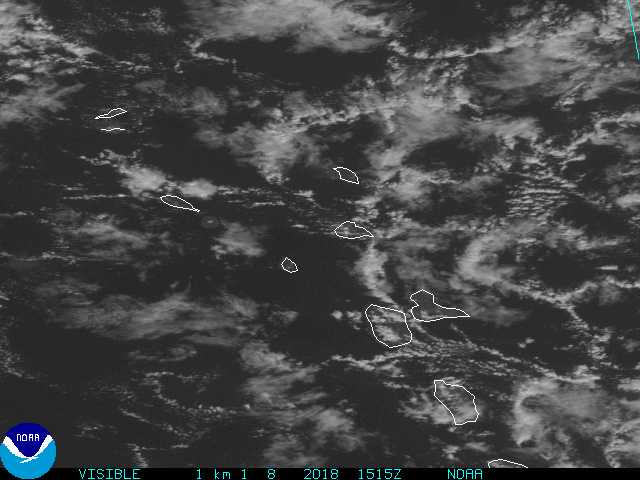
Images sat du NHC:
www.nhc.noaa.gov/satellite.shtml
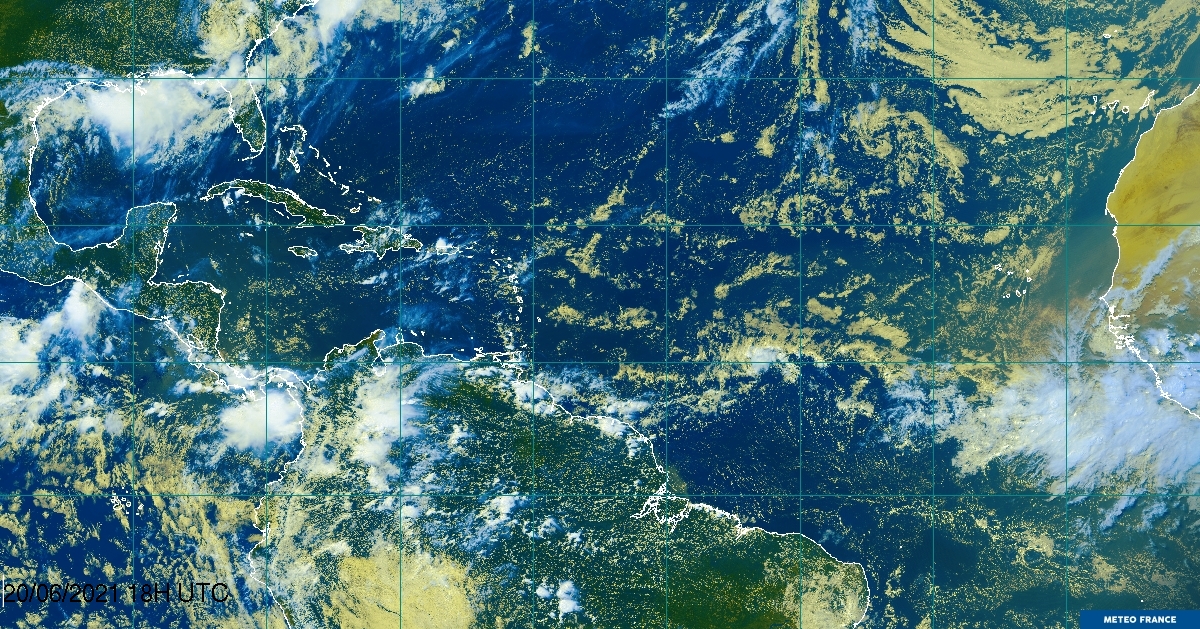
Atlantique HD:
www.meteo.fr/temps/domtom/antilles/pack-public/TAG/TagBisat.jpg
Antilles et caraïbes [animation]:
www.esl.lsu.edu/animate/goes/
-------------------------------------------------------------------------------------------------
Aujourd'hui sont déjà 1 visiteurs (1 hits) Ici!
Ce site web a été créé gratuitement avec
Ma-page.fr
. Tu veux aussi ton propre site web ?
S'inscrire gratuitement


